
Erläuterung zu den Grafiken
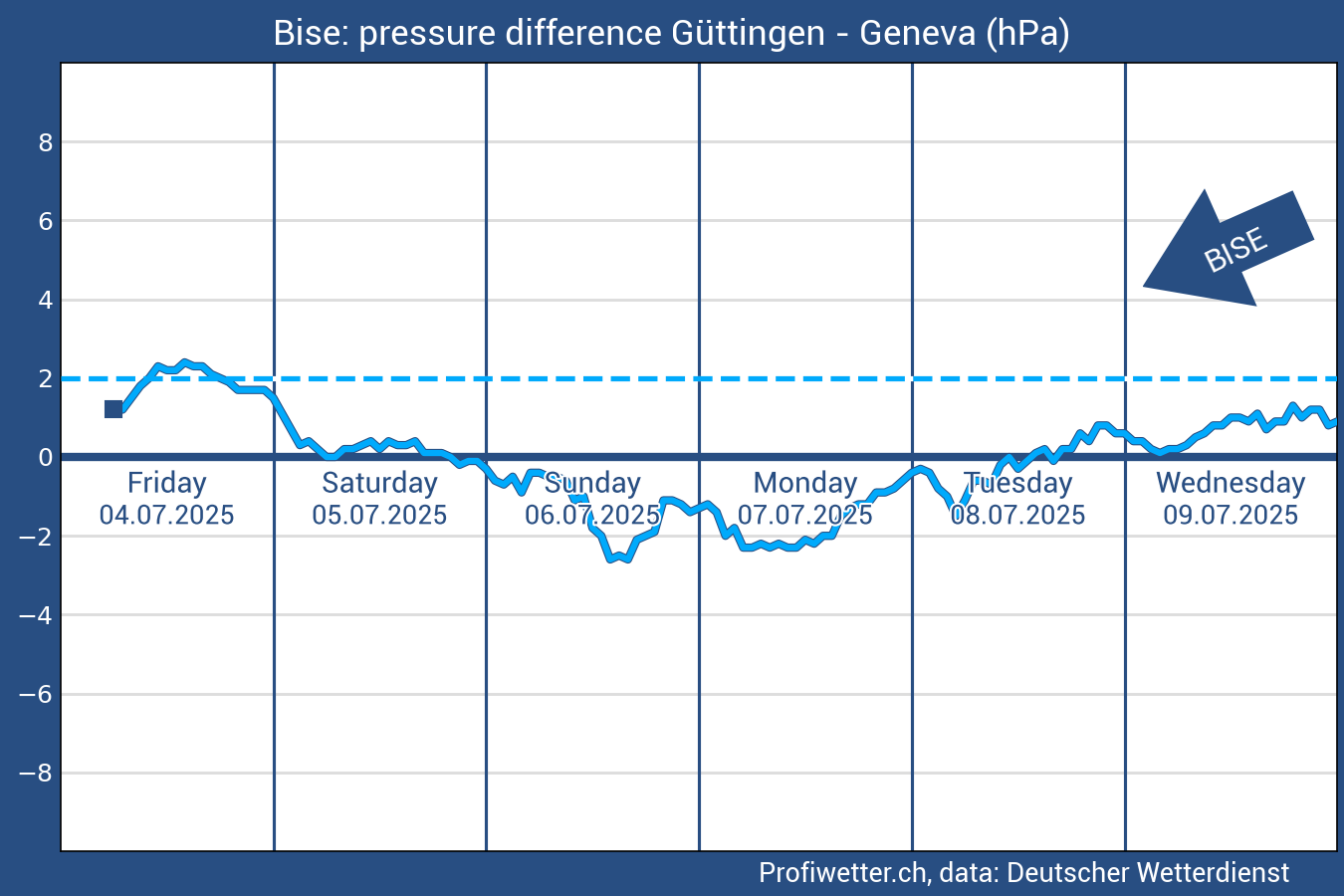
Bise is a cold, dry wind from northeast which blows through the Swiss Midland. It is caused by canalisation of the air-current along the northern edge of the Alps, during high-pressure conditions in northern or eastern Europe respectively. Towards western Midland, the Bise is pressed between Jura and Pre-Alps whereby it strengthens and mostly climaxes on the western shore of Lake Geneva. In summer, Bise wind causes rather dry and sunny weather whereas in winter, it frequently forms low stratus clouds over the Midland by strengthening the inversion layer.
The strength of Bise wind can be determined by the analysis of the air pressure difference (in hectopascal [hPa]) between Geneva and Guettingen (TG). Bise arises as soon as the air pressure in Guettingen (TG) is higher than in Geneva. The greater this air pressure difference, the stronger the Bise blows through the Midland. In case of an inverted air pressure difference (low air pressure in Guettingen (TG) and high air pressure in Geneva), the opposite of Bise occurs: The wind blows from southwest through the Midland.
The forecast is based on model output statistics (MOS) by the German Weather Service (DWD) and is updated several times a day.